
A 2026 study of nine cities found less pavement shade in lower-income neighbourhoods, but not in Barcelona, its only Mediterranean case. Observations from Tel Aviv-Yafo show how pedestrians use the shade that exists.
The short answer
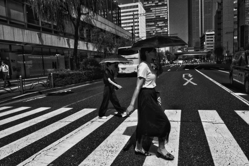
In most of the nine cities examined in a 2026 study in Nature Communications, pavements in lower-income and peripheral neighbourhoods received less shade from buildings and trees than pavements in wealthier areas. Barcelona, the only city in the sample with a hot-summer Mediterranean climate, was an exception. There, lower income was associated with more shade, not less. The shade figures come from computer simulations of one summer day, not from measurements on the street. Separate observations of 5,263 pedestrians in Tel Aviv-Yafo found that about 60% walked in the shade where shade was available. The distribution of shade on walking routes therefore affects how people move through a hot city, and it can be mapped street by street.
What the nine-city study measured
The study was published on 10 February 2026 by researchers from Hong Kong Polytechnic University, the Amsterdam Institute for Advanced Metropolitan Solutions and the MIT Senseable City Lab. It examined Amsterdam, Barcelona, Belem, Boston, Hong Kong, Milan, Rio de Janeiro, Stockholm and Sydney. The authors chose these cities to cover tropical, temperate, continental and Mediterranean climates and different urban forms. A further condition was that comparable spatial and census data existed for each city.
The researchers did not measure shade on the street. They used aerial surface models and automatic tree detection to simulate, at a resolution of 0.5 metres, the shadows cast by buildings and trees every half hour between 10:00 and 17:00 on the summer solstice. The pavement network was generated from OpenStreetMap street data, because consistent pavement maps did not exist for all nine cities. For each neighbourhood the result is an average between 0, never shaded, and 1, shaded for the whole period. This average was then compared with census data on income, home values and population.
In most cities, neighbourhoods with lower incomes, lower home values or more residents received less pavement shade. Tree shade was the most unequally distributed type of shade and building shade the least unequal. Inequality was also found in well-shaded cities. In Stockholm the least shaded fifth of neighbourhoods scored 0.58, higher than the best-shaded fifth in Belem at 0.37, yet wealthier parts of Stockholm still received more shade than the rest of the city.
Barcelona did not follow the pattern
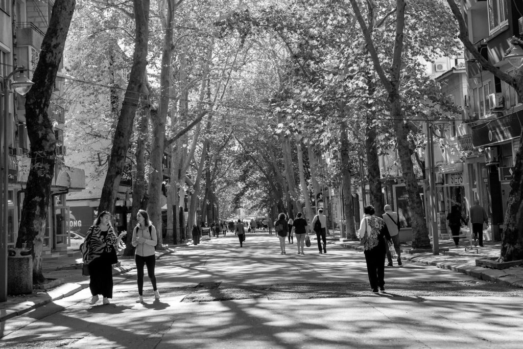
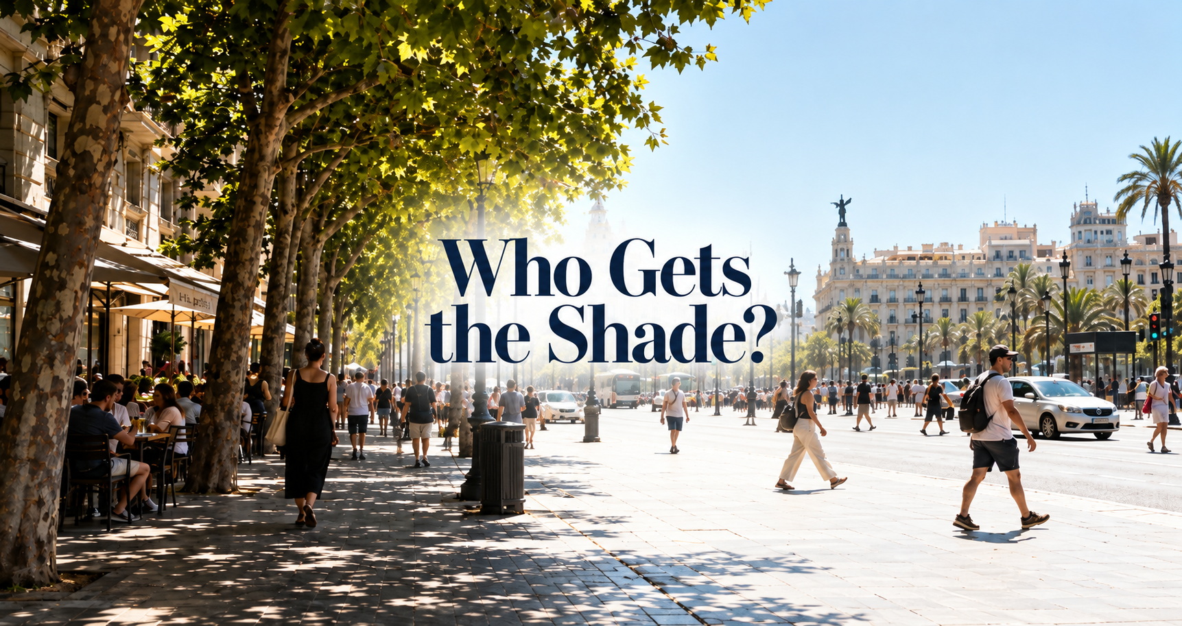
Barcelona is the only city in the study inside the climate zone covered by this publication, the hot-summer Mediterranean climate (Koppen class Csa). According to the paper, most Barcelona neighbourhoods fell in the low-to-moderate shade range and only a few scattered districts exceeded 0.6. The authors describe the city’s pattern as less polarised than in Belem or Rio de Janeiro. In their statistical model, lower income per person in Barcelona and in Milan was associated with higher average shade. In Amsterdam, Belem, Boston, Hong Kong and Stockholm the association ran the other way.
The paper does not give a specific reason for the Barcelona result, but its other findings allow one possible explanation. Across the nine cities, taller buildings were associated with more pavement shade, and building shade was the most evenly distributed type. For Milan, the authors linked high shade levels in the centre to dense, older building stock. If lower-income households in Barcelona live mainly in dense neighbourhoods with narrow streets and tall buildings on both sides, shade from buildings would compensate for the lower tree shade found in lower-income areas of other cities. The study did not test this explanation, so it remains a hypothesis.
Pedestrians in Tel Aviv-Yafo walked in the shade when they could
A simulated shade map is useful only if people actually use the shade it shows. Researchers observed pedestrians at 34 sites in central Tel Aviv-Yafo on eight weekdays between 5 July and 1 September 2020, from 10:00 to 17:00. A camera photographed each site every 2 seconds, and the team counted 5,263 people walking or cycling at points where the pavement offered a clear choice between shade and sun. About 60% of them were in the shade. The study was published in the journal Buildings & Cities in July 2025.
The share of people in the shade rose with the amount of shade available. At the 12 sites with more sun than shade, 44% of the 1,734 people counted were in the shade. At the 12 sites with roughly equal shade and sun the figure was 64% of 2,575 people, and at the 10 sites with more shade than sun it was 80% of 954 people. The three groups reproduce the reported total. The calculation is 763 + 1,648 + 763 = 3,174 people in the shade out of 5,263, which is 60.3%.
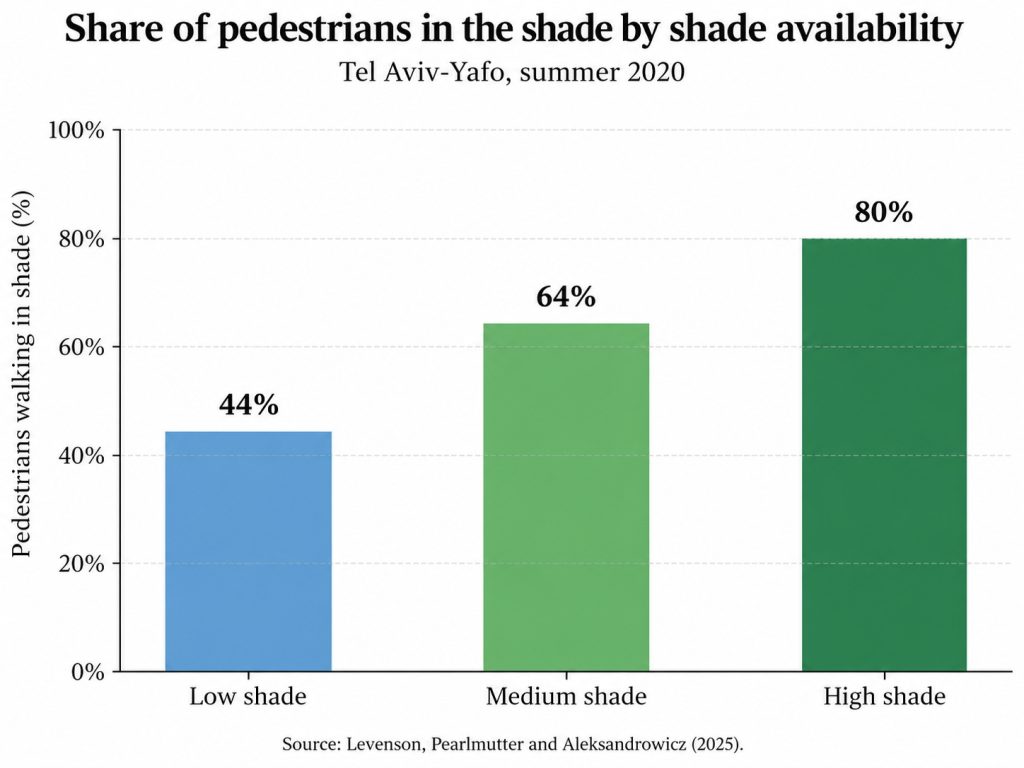
At the six sites where the shaded and sunny parts of the pavement were most similar in width, shop fronts and other features, 71% of people on foot chose the shade. The share of pedestrians in the shade followed the intensity of sunlight falling on the body of a standing person. It did not follow air temperature, which varied by only about 4 degrees Celsius across sites and observation periods.
An earlier study by two of the same researchers, published in Landscape and Urban Planning in 2023, measured summer daytime conditions at 148 locations in Tel Aviv-Yafo with mobile instruments. It found that exposure to solar radiation had a decisive effect on heat stress, measured with three common thermal comfort indices. Air temperature, humidity and wind speed were much more weakly related to heat stress. Based on these two studies, the difference between a shaded and an unshaded point on the same street on a summer afternoon in a hot Mediterranean city is mainly a difference in radiation, not in air temperature.
Trees lower air temperature by less than the headline figure suggests
The urban heat island is the difference in air temperature between a city and the rural land around it. A second 2026 study in Nature Communications, led by The Nature Conservancy and published on 6 May 2026, estimated how much tree cover reduces this difference in 8,919 large urban areas with about 3.6 billion residents. Its headline result is that current tree cover mitigates 41-49% of the heat island that would exist without trees.
The percentage refers to a small quantity. The study estimates the average daytime summer heat island in air temperature at 0.31 degrees Celsius without trees and at 0.16 degrees Celsius with current trees, using one definition of the rural reference area. The population-weighted cooling from trees is 0.15 degrees Celsius. The calculation is 0.15 / 0.31 = 48%. With the alternative rural reference the observed heat island is 0.22 degrees Celsius, and 0.15 / (0.22 + 0.15) = 41%, which reproduces the lower end of the reported range. The same study projects an average summer daytime warming of 1.5 degrees Celsius in these urban areas by the middle of the century under a moderate emissions scenario, of which current tree cover offsets about 10%.
The cooling was unevenly distributed. It was largest in suburbs and in high-income countries and smallest in dense city centres, where the heat island is strongest. The income comparison in this study is between countries, not between neighbourhoods. In dry climates each additional 10% of tree cover lowered air temperature more than in humid climates, and the authors recommend planting in dry regions only as far as water supply permits. In more detailed modelling of Phoenix, Lisbon and Gothenburg, trees reduced wet bulb globe temperature, a heat stress index that includes solar radiation, humidity and wind, on average 3.1 times more than they reduced air temperature.
Taken together with the Tel Aviv-Yafo measurements, these figures indicate where the benefit of a street tree for a pedestrian lies. The reduction in air temperature averaged over a square kilometre is small. The nine-city study assumed, on the basis of earlier measurements, that a tree crown lets through about 10% of direct solar radiation. This reduction in radiation on a person walking under the crown is the effect that the Tel Aviv-Yafo studies connect with heat stress and with where people choose to walk.
A count of trees planted does not measure shade
A tree-planting programme reported only as a number of trees does not show whether the trees stand beside pavements, whether they shade those pavements in the afternoon, how large their crowns will become or whether mature trees were removed elsewhere in the same period. The nine-city study made a related point about green-space statistics, noting that vegetation cover, particularly on private land, does not guarantee shade on public pavements. A measure closer to the conditions pedestrians experience is the share of a walking route that is shaded at a given hour. The following example uses assumed figures to show the calculation.
- Route from a residential building to a bus stop: 600 metres.
- Length of pavement in direct sun at 15:00 on a clear July day, noted while walking the route: 450 metres. Shaded length: 150 metres, so the shaded share is 150 / 600 = 25%.
- Walking speed of 1.2 metres per second: 450 / 1.2 = 375 seconds, or 6 minutes 15 seconds, in direct sun.
- Waiting time at an unshaded stop: 8 minutes. Total time in direct sun for one trip: 375 + 480 = 855 seconds, or 14 minutes 15 seconds.
- If trees or awnings shaded a further 200 metres and the stop had a roof, the sunny length would fall to 250 metres: 250 / 1.2 = 208 seconds, about 3.5 minutes in direct sun. The reduction is (855 – 208) / 855 = 76%.
The same calculation can be repeated on any route with a measuring wheel, a map application that reports distance or a count of paces. A resident who records the shaded share of a daily route at the same hour on two or three clear days in July has a figure that can be sent to the municipal department responsible for street trees or public works and compared with the same measurement a year later. A municipality can calculate the same figure for every route to schools, health centres and public transport stops with a shade simulation of the type used in the nine-city and Tel Aviv-Yafo studies.
What the research does not tell us
The nine-city study simulated shade on one day of the year and counted only buildings and trees. Pergolas, shade sails and other artificial shade structures were excluded because consistent data did not exist, so the results do not include shade from awnings or shelters at stops. The pavement network was generated from street data, so it may overstate pavement area in some neighbourhoods and miss informal footpaths in others. The authors repeated the analysis for the hottest day of each city’s 1991-2020 record and found only small changes. The census data differ between countries, so comparisons between cities are less reliable than comparisons within one city.
The study reports associations, not causes. Lower shade in lower-income neighbourhoods may reflect lower building heights, newer low-density development at the edge of the city, fewer mature trees or public spending decisions, and the analysis does not separate these factors. The authors themselves attribute the pattern to past decisions on urban investment, land use and greening. Barcelona is a single Mediterranean city, and its result cannot be assumed for Athens, Marseille or Lisbon without a local analysis.
The Tel Aviv-Yafo observations cover one city in one summer, during the COVID-19 period, and only sites with a clear choice between shade and sun. They show which side of the pavement people choose. They do not show whether more shade would lead more people to walk instead of drive. The tree-cover study works on a 1-kilometre grid with air temperature and country-level income, so it does not describe conditions on individual streets or differences between neighbourhoods. None of the neighbourhood-scale studies discussed here includes a Greek city.
A planning perspective
The evidence presented above supports treating shade on walking routes as part of street infrastructure, with a minimum standard, a map of the streets where the standard is not met and a budget for trees, roofs and maintenance. The nine-city study shows that shade is unevenly distributed and that the pattern differs between cities. The Tel Aviv-Yafo observations show that pedestrians use shade where it exists. On this basis, the neighbourhoods with the highest heat exposure and the least pavement shade should come first in the order of works.
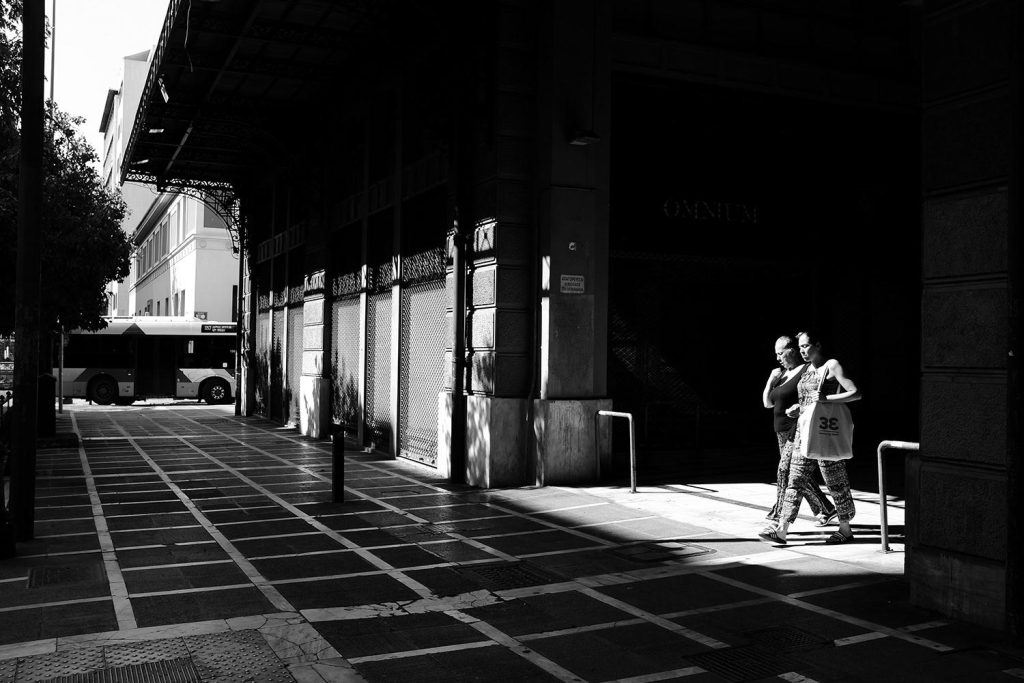
The tools for this already exist in at least one Mediterranean city. A 2020 study funded by the Conservation Department of the Tel Aviv-Yafo Municipality calculated a summer shade index for every street segment and neighbourhood of the city from 3D maps of buildings and trees. It then combined this index with a measure of each street’s potential to attract pedestrians, in order to rank streets where shade should be added or conserved. According to the 2025 Tel Aviv-Yafo observation study, a set of guidelines published in Israel in 2025 proposes quantitative shade indicators for use in urban planning.
For Mediterranean cities, building shade deserves particular attention. In the nine-city study, taller buildings were associated with more pavement shade and building shade was the most evenly distributed type. Street width, building height and the position of the building line therefore determine how much of a pavement is in the sun at a given hour. A street widened without new trees, roofs or arcades, and with the same building heights, has a larger area in direct sun at midday than before. Where summer water supply limits tree planting, as the tree-cover study notes for dry climates, arcades, pergolas and shelters at stops provide shade without irrigation.
The wider picture
The places covered by this publication include the Mediterranean basin, California, central Chile, the Cape Town region and south-western and southern Australia. Barcelona is the only one of them in the nine-city sample. Sydney, also in the sample, has a humid subtropical climate, so its low shade in western suburbs is not direct evidence for Mediterranean-climate cities. Whether the Barcelona result holds for dense historic centres elsewhere around the Mediterranean, or whether low-density suburbs in California or south-western Australia behave more like Sydney’s western suburbs, has not been tested.
The Tel Aviv-Yafo findings are more likely to transfer, because they concern pedestrian behaviour under clear skies and strong summer sun, conditions typical of hot-summer Mediterranean cities. The same research team notes that attitudes to heat and sun differ between regions, so the exact percentages may vary. The method, a shade simulation combined with counts of pedestrians, can be applied in any city that has a 3D model of buildings and trees.
The takeaway
In most of nine cities studied in 2026, lower-income neighbourhoods had less simulated pavement shade. In Barcelona, the one hot-summer Mediterranean city in the sample, the relationship was reversed. In Tel Aviv-Yafo about 60% of pedestrians walked in the shade where it was available, and 71% of people on foot did so where the shaded and sunny parts of the pavement were comparable. Tree cover lowers average urban air temperature by about 0.15 degrees Celsius, while shade reduces the solar radiation that, in the Tel Aviv-Yafo measurements, determined most daytime heat stress on the street. It remains uncertain whether the Barcelona result applies to other Mediterranean cities. A city can measure the shaded share of each walking route at a given hour and set a minimum for it, which a count of trees planted does not provide.
Sources & further reading
- Gu, X., Beuster, L., Liu, X., van Leeuwen, E., Venverloo, T. and Duarte, F. Global patterns of inequality in pedestrian shade provision. Nature Communications 17, 2563, published 10 February 2026. https://doi.org/10.1038/s41467-026-69190-w
- McDonald, R. I., Chakraborty, T. C., Endreny, T. A., Parsons, L. A., Marsagishvili, M. and Esperon-Rodriguez, M. Trees halve urban heat island effect globally but unequal benefits only modestly mitigate climate-change warming. Nature Communications 17, 3569, published 6 May 2026. https://doi.org/10.1038/s41467-026-71825-x
- Levenson, M., Pearlmutter, D. and Aleksandrowicz, O. An observational analysis of shade-related pedestrian activity. Buildings & Cities 6(1), 398-414, published 8 July 2025. https://doi.org/10.5334/bc.574
- Aleksandrowicz, O. and Pearlmutter, D. The significance of shade provision in reducing street-level summer heat stress in a hot Mediterranean climate. Landscape and Urban Planning 229, 104588, 2023. https://doi.org/10.1016/j.landurbplan.2022.104588
- Aleksandrowicz, O., Zur, S., Lebendiger, Y. and Lerman, Y. Shade maps for prioritizing municipal microclimatic action in hot climates: Learning from Tel Aviv-Yafo. Sustainable Cities and Society 53, 101931, February 2020. https://doi.org/10.1016/j.scs.2019.101931
- MIT News. More trees where they matter, please, 24 February 2026. https://news.mit.edu/2026/more-trees-where-they-matter-please-0224
Article information
Author: Konstantinos Kourounis
Topic: Heat, Water & Climate / Research Explained
Places discussed: Barcelona, Spain; Tel Aviv-Yafo, Israel; Milan, Italy; Stockholm, Sweden; Lisbon, Portugal
Primary themes: pavement shade, urban heat, street trees, heat inequality, walking